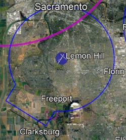
This file was generated as part of data verification following the aviation database conversion process. This site was originally conceived to share this file, because it seemed like it would be of use and interest to the aviation community.
(valid 3/20/2025 - 4/17/2025 )
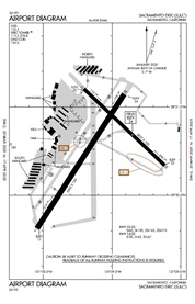
These PDF files are freely available from the FAA, and are updated regularly on the 28-day cycle. It's easy to find the plates you need, and just print them before you launch.
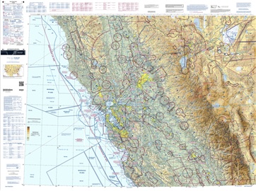
These geo-referenced maps are freely available from the FAA, and you could use them in a mapping program like Avenza. They are rather large, but these are updated on a regular schedule by the FAA.